Explore
Search Myopentrip
Type at least 2 characters to search trips, experiences, rentals, destinations, airlines, airports, or hosts.
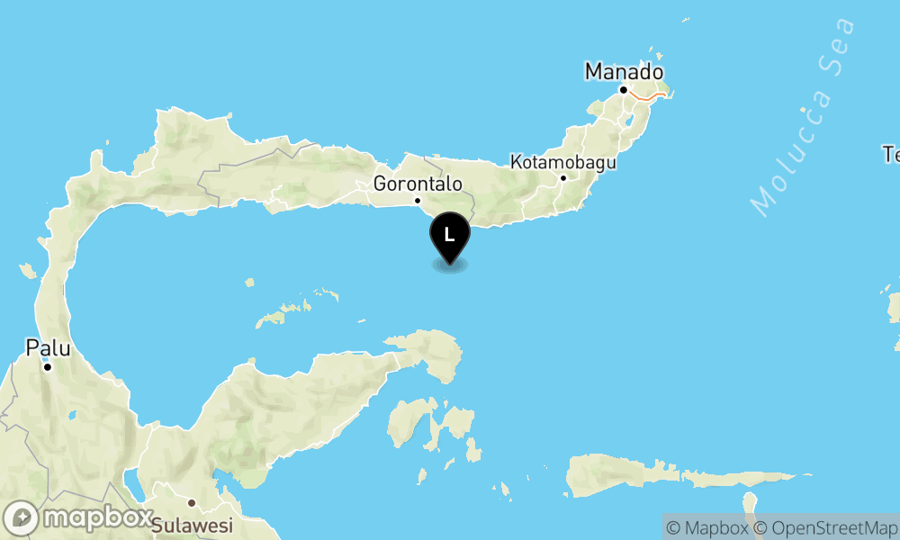
Gempa Magnitudo 5.1 Guncang Wilayah Tenggara Bonebolango-Gorontalo, Tidak Berpotensi Tsunami
70 km Tenggara BONEBOLANGO-GORONTALO
Official source & tsunami potential (BMKG)
The magnitude, depth, coordinates, and potential text on this page are aligned with BMKG open data. Information may be updated after seismological analysis; for safety decisions, follow official BMKG and local government warnings.
Potential (BMKG)
Tidak berpotensi tsunami
Summary
Gempa berkekuatan M5.1 terjadi 70 km tenggara Bonebolango-Gorontalo, kedalaman 129 km. Koordinat: -0.06,123.34, pada 04 Apr 2024, 13:39 WIB. Tetap waspada terhadap kemungkinan gempa susulan. #Gempa #Bonebolango #Gorontalo
Google Maps Location
Get Earthquake Notifications
Receive the latest earthquake information in real time straight to your device.
Safety Guide
Learn the important steps to take during an earthquake of this magnitude.
Important Post-Earthquake Info
Watch for Aftershocks
Aftershocks can occur within hours, days, or weeks. Stay away from damaged buildings.
Avoid Open Flames
Do not light fires due to the risk of gas leaks or other flammable materials.
Drive Carefully
Roads may be cracked or damaged. Plan a safe alternative route.
Log in to continue
Stay on this page. Log in, then continue what you started.
Don't have an account? Click Here
If you signed up with Google, use the button below.